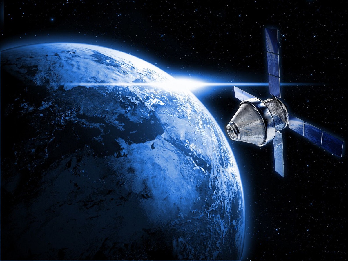
The man-made satellites are called Artificial satellites because they are not natural nor are they one of the celestial bodies present in space, they are used by various organizations involved for research, military or global positioning purposes. You can learn more about this interesting topic here.
What are artificial satellites?
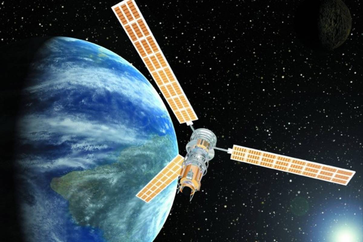
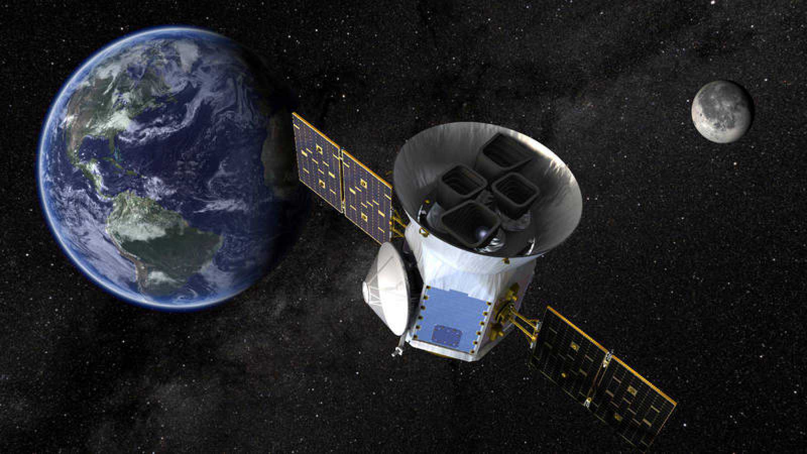
Artificial satellites are objects that people have made and placed in orbit using rockets to transport them, there are currently more than a thousand active satellites in orbit around the Earth, the size, altitude and design of a satellite depend on its purpose .
The satellites vary in size, some cube satellites are as small as 10cm, other communication satellites are about 7m long and have solar panels that extend another 50m. The largest man-made satellite is the International Space Station, it is as big as a large five room house, including solar panels, it is as big as a sports practice field.
History of Artificial Satellites
The Artificial satellites of the Earth appeared on the world scene in the late 1950s and were adopted relatively early by geodesists as the obvious potential tool for solving world geodetic problems. In geodetic applications, satellites can be used for both positioning and gravitational field studies, as we have mentioned in the previous three sections.
Geodesists have used many different satellites over the last 40 years, ranging from active satellites, (transmitters) completely passive, to highly sophisticated, from fairly small to very large.
Artificial, passive satellites do not have sensors on board and their function is basically that of an orbiting target. Active satellites can carry a wide variety of sensors, ranging from precise clocks through various counters to sophisticated data processors, and transmit the collected data back to earth on a continuous or intermittent basis.

The modern space age with Satellites Artificial sent for direct measurements of near-Earth space began in the early 1960s. Despite the last four decades of satellite measurements of the Earth's magnetosphere, it is generally accepted that the Earth's magnetosphere is still poorly sampled. simply because of its sheer volume.
This fact naturally poses an obstacle to achieving a comprehensive understanding of many magnetospheric phenomena, compounding this obstacle is the growing evidence that many challenging magnetospheric problems are associated with physical processes involving multiple spatial or temporal scales.
There is a strong coupling between microphysical and large-scale phenomena, consequently many magnetospheric investigations and space missions to date emphasize multipoint measurements. Achieving multipoint measurements in space often requires arduous efforts and immense resources, which can be achieved more efficiently and cheaply through international collaboration.
«The first artificial satellite was sent into space by the Soviet Union on October 4, 1957, this satellite was called Sputnik, weighed 183 pounds, was the size of a small object and took 98 minutes to orbit the earth, the launch of this satellite has been chosen as the beginning of the space age and the beginning of the space competition between the United States and the Soviet Union that lasted during the years of the 1960s.»
The Soviet event that changed the world
Sputnik was the satellite that inaugurated the space age, it was an 83,6 kg (184 pound) capsule, it achieved an orbit with an apogee of 940 km (584 miles) and a perigee (closest point) of 230 km (143 miles), circling the Earth every 96 minutes and remained in orbit until January 04, 1958, when it fell and burned up in the Earth's atmosphere.
The launch of Sputnik shocked many Americans, who had assumed that their country was technologically ahead of the Soviet Union, and led to "space competition" between the two countries.
To understand why Sputnik was so amazing, it's important to look at what was happening at the time, to take a good look at the late 1950s.
At that time, the world was on the fringes of space research, the progress of rocket technology was actually aimed at space, but was diverted to wartime use, after World War II, the United States and the Soviet Union were competitors both militarily and culturally.
Scientists on both sides were developing larger, more powerful rockets to carry payloads into space. Both countries wanted to be the first to explore the high frontier, it was only a matter of time before it happened, what the world needed was a scientific and technical boost to get there.
In the midst of the Cold War, Americans were particularly concerned about their country's backwardness and the military consequences of Soviet discoveries.
In Moscow, they did not expect the success of the first attempt, they were surprised by the shock wave of Sputnik on world opinion. However, they quickly understood that the Soviet Union was using this Artificial Satellite as a propaganda weapon in the Cold War against the United States.
Types of Artificial Satellites
Let us already make a distinction between two types of satellites, this difference acts on the type of orbit taken by the satellite, in fact a distinction is made between roaming satellites and geostationary satellites. Traveling satellites can only establish links when they are visible between a transmitter and a receiver.
The Artificial satellites They have two characteristics and in this way they can be classified according to their mission or their orbit.
Satellites by mission type
According to their mission we have the following types of satellites:
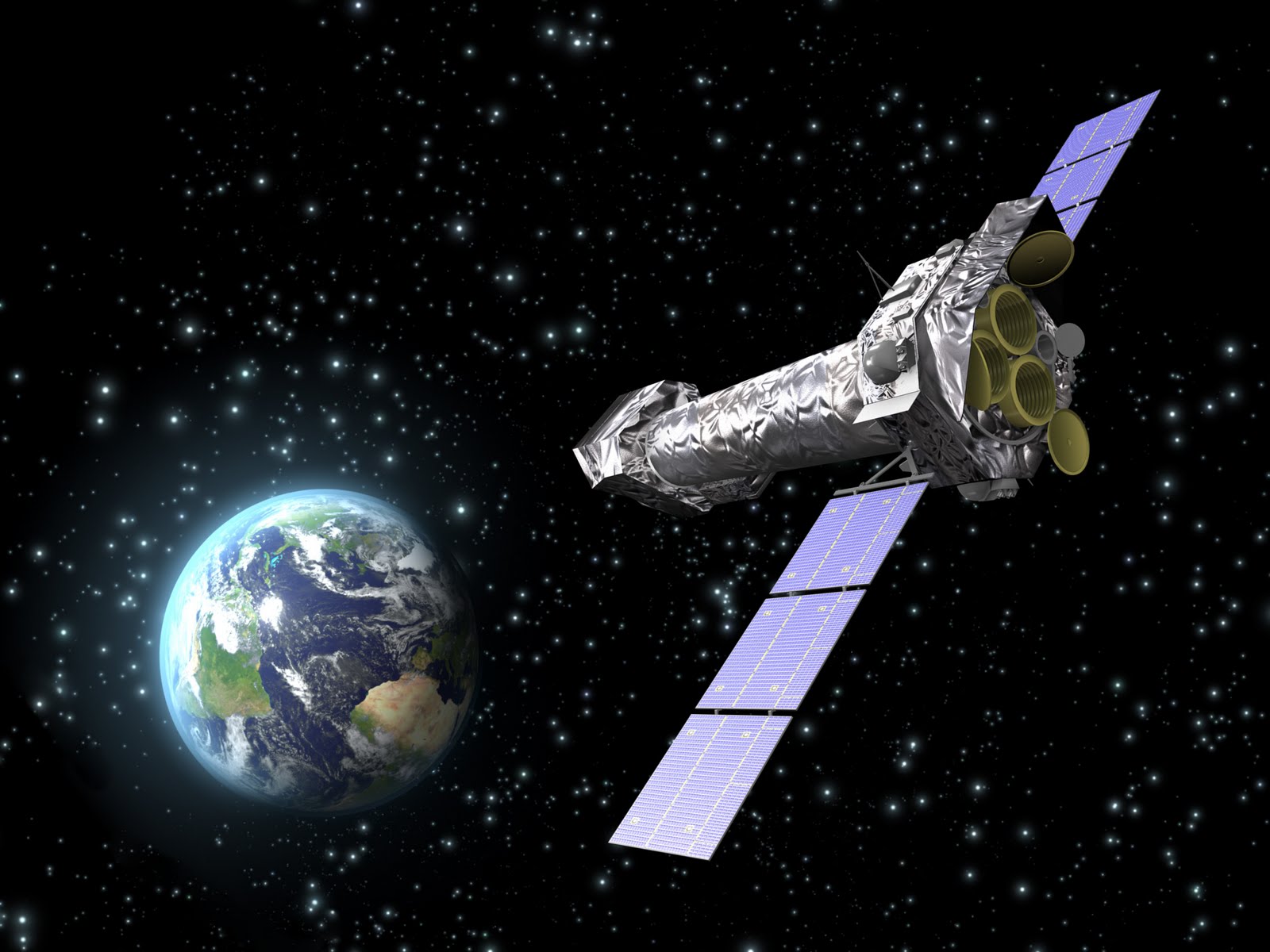
astronomical satellites
These are satellites that allow an in-depth study of the Earth or a more precise study of space, in the case of remote sensing, it is, for example, the making of precise maps or the measurement of the exact shape of the Earth or even the study of continental and oceanic spaces.
It also helps to better understand certain atmospheric phenomena, in the case of the study of space, they are actually large telescopes sent into space since they do not have the discomfort that the atmosphere provides on Earth and therefore they can capture sharper images.
Biosatellites
They are designed to study the biological effects of zero gravity, cosmic radiation and the absence of the Earth's 24-hour day and night rhythm on various plants and animals ranging from a variety of microorganisms to a primate, such space laboratories are equipped with remote measurement machines to monitor the status of the samples.
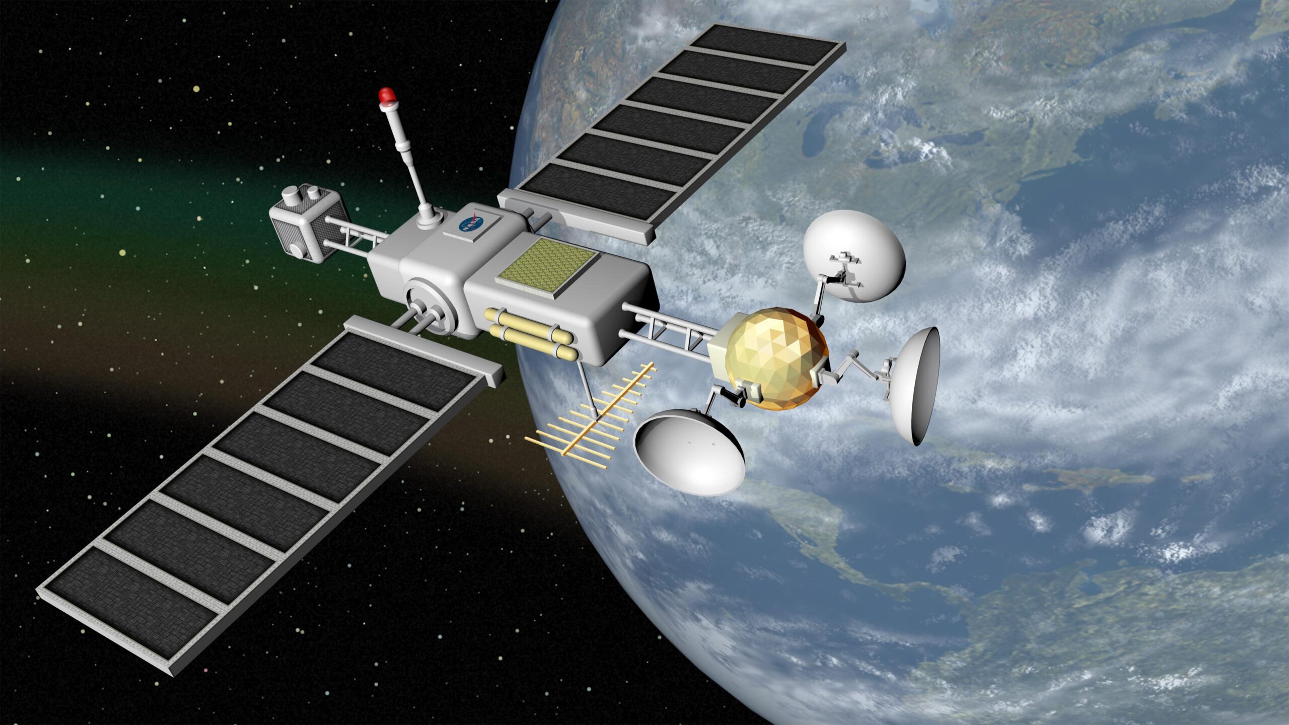
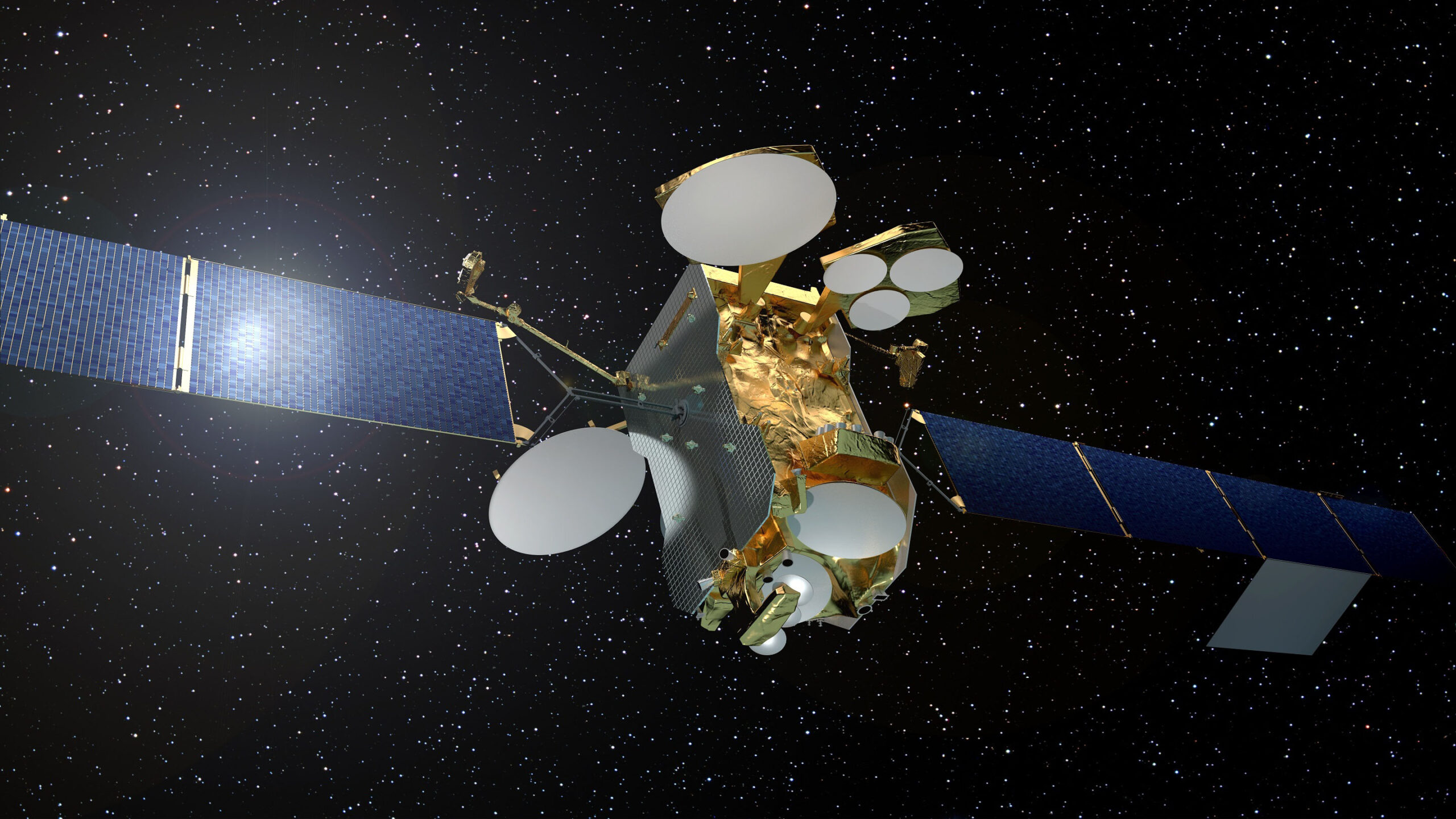
communications satellites
A satellite communication system can be put into operation relatively quickly, since it is not necessary to have direct access to the area, since it would be necessary to make physical connections such as cables or the like. This is a significant advantage in geographically or politically difficult areas.
A typical telecommunications satellite has a certain number of transponders, each transponder consisting of a receiving antenna tuned to a channel or range of frequencies, at the input of a device, which scales these frequencies to the frequency range of the output channel, and a power amplifier to provide the microwave output with adequate power. The number of transponders, or channels, indicates the capacity of the satellite.
Miniaturized satellites
A miniature satellite is an Earth-orbiting device that has lower mass and smaller physical dimensions than a conventional satellite, such as a geostationary satellite, miniaturized satellites have become increasingly common in recent years.
They are suitable for use in proprietary wireless communications networks, as well as for scientific observation, data collection, and the Global Positioning System (GPS).
Miniaturized satellites are often placed in low Earth orbits and launched in groups called "swarms." In this type of space satellite, each system works similarly to a repeater in a cellular communications system, some miniaturized satellites are placed in elongated (elliptical) orbits.
navigation satellites
They have been very useful for shipping and airline companies, in fact, they allow you to position yourself with extreme precision on Earth. This brings an advantage in rescue missions, in addition, the accuracy can go up to 1 centimeter, but only for military research, in other cases, it is much less accurate. These satellites can also perform distance measurements.
military satellites
These satellites use different types of orbit, this will depend on the objective, therefore, it will take a geostationary orbit if its mission is to serve as a telecommunications satellite or a very elliptical orbit if its mission is to spy, for example.
These latter types of satellites are called 'spy satellites'. They can also observe the Earth as remote sensing satellites, this type of satellite is certainly not limited to the type of missions, but obviously you do not have access to this type of information.
Earth observation satellites
A variety of instruments have been used on board these satellites to provide the necessary data at diversified spatial, spectral and temporal resolutions to meet the different requirements of users in the country and for global use.
Data from these satellites is used for various applications spanning agriculture, water resources, urban planning, rural development, mineral prospecting, and the environment, from space to earth.
solar powered satellites
It is a tremendous power system that collects and converts solar energy into electrical energy in space and then transmits the electrical energy to the earth wirelessly.
It provides power to other systems, it is one of the most important systems, in many respects it determines the geometry of the spacecraft, the design, the mass and the period of active existence. The failure of the power supply system leads to the failure of the entire apparatus.
The power supply system generally includes: a primary and secondary source of electricity, conversion, chargers, and control automation.
Meteorological satellites
Also located in a more or less low orbit, these satellites make it possible to forecast, by concentrating their measurements and studies on the atmosphere, direct weather and bad weather on Earth and to study climates and their evolution. These satellites use infrared and normal cameras, in addition, depending on the precision sought, they are placed more in geostationary orbit (less precise) or in polar orbit (more precise).
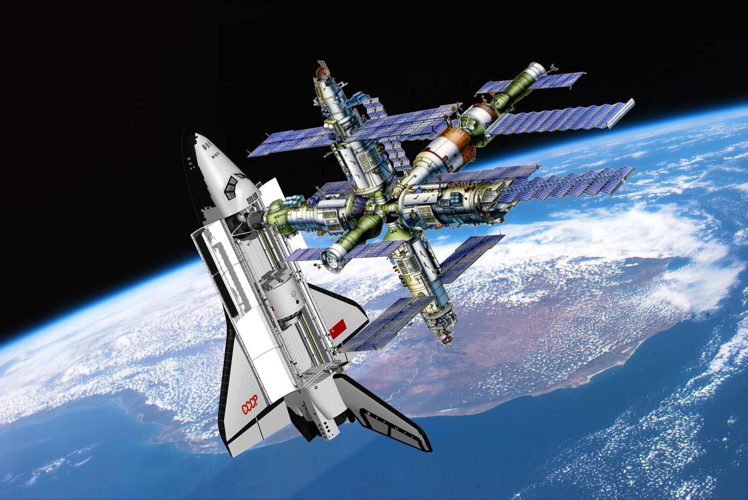
space stations
It is an artificial structure placed in orbit, which has the energy, supplies and environmental systems necessary to support human habitation for extended periods. Depending on its configuration, a space station can serve as a base for a variety of activities.
These include observations of the Sun and other astronomical objects, study of the Earth's resources and environment, military reconnaissance, and long-term investigations of the behavior of materials and biological systems, including human physiology and biochemistry, in a state of weightlessness. or microgravity.
Small space stations are launched fully assembled, but larger stations are shipped in modules and assembled in orbit, to make the most efficient use of their transport vehicle capacity, an empty space station is launched and members of its crew, and sometimes additional equipment, follow her in separate vehicles.
Satellites by type of orbit
According to their orbit, satellites are classified as follows:
Classification by center
- Galactocentric orbit: The orbit of the center of the galaxy, the Sun follows this type of orbit about the galactic center in the Milky Way.
- Heliocentric orbit: The orbit around the sun, the planets of the solar system, comets and asteroids are in such orbits, like many artificial satellites and space debris debris, satellites, on the contrary, are not in the heliocentric orbit, but in the orbit of their parent object.
- Geocentric orbit: It is the orbit close to planet Earth, as in the case of the moon or artificial satellites.
- Moon orbit: Earth's orbit around the Moon.
- Areocentric orbit: The orbit around the planet Mars, like that of its moons or artificial moons.

Altitude classification
- Low Earth Orbit: It is, as the name suggests, an orbit that is relatively close to the Earth's surface, normally at an altitude of less than 1000 km, but could be as low as 160 km above Earth, which is low compared to other orbits. orbits, but still well above the Earth's surface.
- Mean Earth Orbit: It encompasses a wide range of orbits anywhere, needs to take specific paths around the Earth, and is used by a variety of satellites with many different applications.
It is widely used by navigation satellites, such as the European Galileo system. Galileo powers navigation communications across Europe and is used for many types of navigation, from tracking large aircraft to getting directions to your smartphone. Galileo uses a constellation of multiple satellites to provide coverage of large parts of the world at once.
- High Earth Orbit: When a satellite reaches exactly 42.164 kilometers from the center of the Earth (about 36.000 kilometers from the Earth's surface), it enters a kind of "sweet spot" in which its orbit matches the Earth's rotation.
Because the satellite orbits at the same speed as the Earth rotates, the satellite appears to stay in place for a single longitude, although it can drift from north to south, this special high-Earth orbit is called geosynchronous.
It is considerably important for weather monitoring that satellites in this orbit provide a steady view of the same surface, when you go to the internet to weather sites and look at the satellite view of your hometown, the image you are looking at descends from a satellite in geostationary orbit.
Tilt Sorting
- Inclined Orbit: Whose orbit is not inclined with respect to the equatorial plane.
- polar orbit: Satellites in a polar orbit do not have to accurately pass the north and south poles, even a deviation within 20 to 30 degrees is still classified as a polar orbit.
- Sun-synchronous polar orbit: A near-polar orbit that traverses the equator in the same local solar time on each pass. Useful for satellites taking images, as the shadow will be the same on each pass.

Classification by eccentricity
- circular orbit: The orbit has an eccentricity of 0 and whose trajectory draws a circle.
- Elliptical orbit: An orbit with an eccentricity greater than 0 and less than 1, the orbit traces the path to the ellipse.
- Geosynchronous Transfer Orbit: It is an elliptical orbit where the perigee is located at a lower Earth orbit altitude and an apogee at a geostationary orbit altitude.
- Geostationary Transfer Orbit: It is an orbital maneuver that shakes a spacecraft from one circular orbit to another using two propulsion engines.
- hyperbolic orbit: It is an orbit with an eccentricity greater than 1. Such an orbit also has a speed that exceeds the runaway speed and as such, it will avoid the planet's gravitational pull and continue to travel endlessly until another body with sufficient gravity kicks in.
- Parabolic orbit: It is an orbit with an eccentricity equal to 1. This orbit also has a velocity equal to the escape velocity and therefore, in order to avoid the planet's gravity, if the velocity of the parabolic orbit increases, it will become a hyperbolic orbit.
https://youtu.be/ldFjh1Rqmr4
Synchronous sorting
- Synchronous Orbit: It is any orbit in which the orbital stage of a satellite or celestial body is greater than the rotational stage of the body that holds the orbital barycenter.
- Semi-synchronous orbit: It is an orbit with an orbital period equal to half the average period of rotation of the body, which rotates in the same direction of rotation as this body.
- Geosynchronous orbit: They have a semi-major axis of 42,164 km (26199 mi). It operates at an altitude of 35,786 km (22,236 miles).
- Geostationary orbit: They are the orbits around the Earth corresponding to the Earth's stellar rotation period.
- Graveyard Orbit: It is an orbit that is far from common operational orbits.
- Areosynchronous orbit: It is a synchronous orbit that is positioned near the planet Mars with an orbital time equal to the permanence of the sidereal day of Mars, 24.6229 hours.
- Areostationary orbit: It is similar to the geostationary orbit, but it is located on Mars.
other orbits
- Horseshoe orbit: It is the orbit that appears to the Earth observer to be a specific orbital planet, but in fact in a joint orbit with the planet.
- Lagrangian point: They are points adjacent to two huge bodies in orbit, where a small thing will retain its position with respect to large moving objects.
Classification of satellites according to their weight
According to their weight we can classify the Artificial satellites As follows:
- Large satellites: greater than 1000 kg
- Medium satellites: between 500 and 1000 kg
- Mini satellites: between 100 and 500 kg
- Micro satellites: between 10 and 100 kg
- Nano satellites: between 1 and 10 kg
- Satellite peak: between 0,1 and 1 kg
- Femto satellite: less than 100 g
Countries with launch capacity
There are several countries with the capacity to launch satellites into space, such as:
Russia
A leader in commercial space launches, Russia operates several spaceports, the nation paying Kazakhstan $115 million a year for the use of its busiest launch site.
United States
Private companies and state governments are constantly establishing spaceports in the United States that directly or indirectly support the satellite launch industry.

France
This country built its launch facilities in French Guiana in the 1970s, using the Earth's equatorial spin to launch hundreds of additional pounds of payload into orbit.
Japan
The first expulsion was in May 2012 from a South Korean satellite and it was more than a successful mission; initiated the official liberalization of the Japan Aerospace Exploration Agency's satellite launch business.
Brazil
Brazil's difficult entry into the launch industry is a reminder of how technically difficult and dangerous this business can be, two satellite launches failed to launch.
How many satellites are orbiting the Earth?
“According to the United Nations Office for Outer Space Affairs (UNOOSA), a total of 8378 objects have been launched into space in history. Currently, 4928 are still in orbit, although 7 of them are in orbit around celestial bodies other than Earth; Which means there are 4921 satellites buzzing overhead every day.”
What is the size of a satellite?
From the size of a small car to the size of a small appliance, satellites of all shapes and sizes are used to monitor the structure of the earth from space, from the 3.238 kg satellite to the 570 kg satellite.

Now, the rapid development of satellite technology allows even smaller satellites to provide similar capabilities, these small satellites provide shorter construction times and reduced costs.
What is the function of a satellite?
A satellite is a body in space that orbits close to something else, it can be natural, like a moon, or artificial. An artificial satellite is put into orbit by attaching to a rocket, sent into space, and then separated when it is in the correct location, all Artificial satellites They are also used to investigate other parts of our solar system, including Mars, Planet Jupiter and the sun.
How does a satellite stay in orbit?
Gravity, combined with the momentum of the satellite from its launch into space, causes the satellite to go into orbit above the Earth, instead of falling to the ground.
So really, the ability of satellites to maintain their orbit comes down to a balance between two factors: their speed (or the speed at which it would travel in a straight line) and the gravitational attraction between the satellite and the planet it orbits. .
Can satellites collide?
There are many satellites in orbit, considering the thousands of old and defunct satellites that can no longer communicate with Earth, it is surprising how little they collide; but such a collision could undoubtedly occur.
Who controls the satellites?
All Artificial satellites they are controlled from satellite control centers located in different places on Earth. With regard to geosynchronous satellites, they are equipped with computers and software dedicated to keeping the satellite anchored to Earth and working properly to fulfill the mission for which they are launched.
The satellites send telemetry to the satellite control centers continuously, so that the technical staff can check the status of the different subsystems on board at any time of the day.
Can anyone send a satellite into space?
Yes indeed, you only need to obtain a license from the Federal Communications Agency, because otherwise you could end up interfering with other satellites, either due to communication periods or orbital itinerary.
