We live on a planet that they say is the only one that has the conditions to be inhabited by living beings. From space you can identify the parts that delineate it. We invite you to learn more about the dimensions of the Earth.
Origin of the name of the Earth
NASA National Aeronautics and Space Administration, says regarding the Origin and Evolution of the Earth:
“Earth is the only planet that doesn't have its name from Greek/Roman mythology. The name derives from Old English and Germanic.
Earth is written in English and comes from the German word “erde”, which means ground. This name speaks of what is under the feet.
Some think that if it is because of what it has on its surface, the planet should have been called WATER, since more than 75% of its territory is full of it.
This place full of water and soil is our planet; The Earth, which is endowed with characteristics that give living beings in general the opportunity to be its inhabitants.
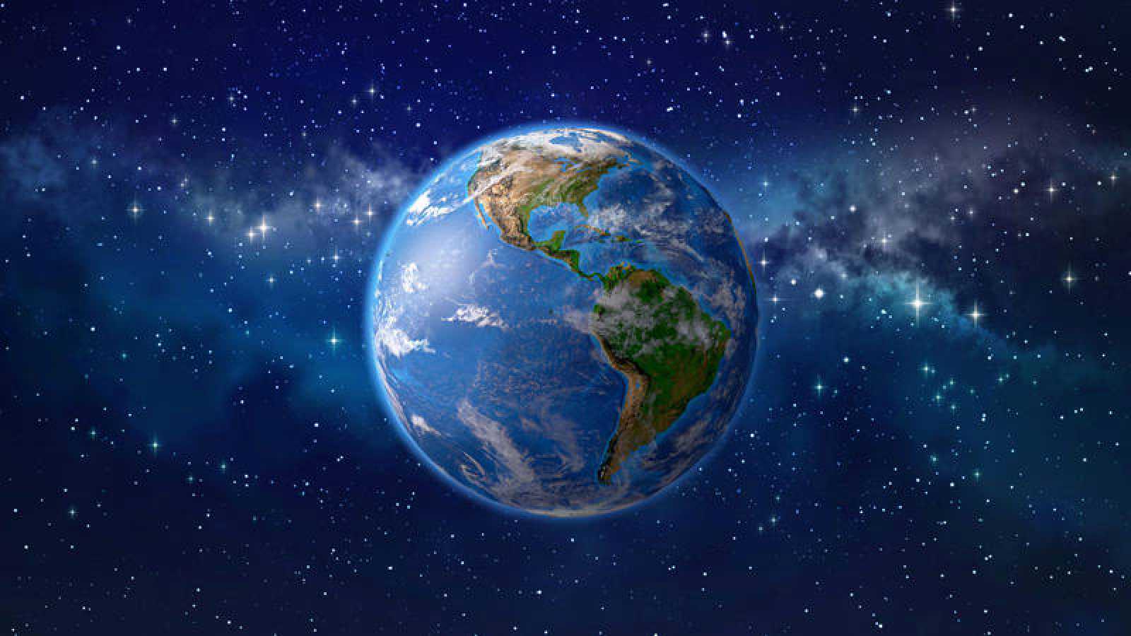
Earth from space
In the past, primary school textbooks showed for the first time that image that remains in the memory of human beings forever, a shape of the earth spherical with parts filled with water, others with soil and vegetation.
However, when photographs or videos of its form are observed from space, all its elements are dimensioned. Appearing the atmosphere, as a translucent layer that shows the different areas of land and the oceans that surround it.
Currently, the International Space Station (ISS), of NASA, is a center that investigates the Earth's orbit and is permanently outside the atmosphere, providing the opportunity to see live through this satellite camera what our planet is like.
The dimensions of the Earth
It has already been identified that the Earth, it is not a perfect sphere, but a sphere flattened by the poles, technically the denomination of spheroid is used. This is because the distance from the center to the equator and from the center to the poles are not the same.
There are some data that have been recorded through distance measures such as:
- Earth's surface: 510.072.000 km2
- Oceanic extension: 3,6.108 km2
- Continental territory: 1,5.108 km2
- Equatorial radius: 6.378,1 km
- Polar radius: 6.356,8 km
It has an "imaginary line", along with the meridians, which would unite the "north pole with the south pole". The Earth is divided into two large hemispheres through another line that is the equator.

Knowing the earth's surface with the geoid
Geodesy, which has been known as one of the Earth sciences for some years, has been studying the organization of the planet and therefore represents it as a "spheroid with an uneven surface and slightly flattened at the poles", specifically called "ellipsoid". of revolution”
The surface of the structure of the earth Through its natural and artificial forms, they intend to be represented through this science, using calculations and based on real data, in the earth's gravity field, it can give accurate information about its structure.
For all of the above Earth data, the geoid is taken into account as the closest way to know the Earth's surface. Starting from sea level, providing positive and negative calculations that account for homogeneous information about the planetary extension.
Shockingly, studies by experts in Geodesy show that the real shape of the earth is like a deflated balloon. The rotation that the planet makes about its axis of 360º, gives us an elliptical that can be used as a reference to show what is the shape of the earth.
Ellipsoid of revolution hypothesis
Geodesy according to RAE:
"Part of geology that mathematically determines the figure and magnitude of the Earth or a large part of it, and deals with building the corresponding maps."
This branch that has always studied the shape and dimensions of the earth, It is the basis for studies such as:
- Topography
- Engineering of all kinds
- space programs
- Astronomy
- Geophysics
For centuries, the Earth was studied in depth by researchers of each era, who, based on theories and hypotheses and supported by estimated information, created possible representations of the planet with maps and spheres.
In fact, at some point it was said that the Earth was flat and it took ages to recognize that it was round or spherical in shape. Studies at the end of the 22th century have shown that there is a significant difference between the two semi-axes of the terrestrial ellipsoid of approximately XNUMX km. Let's see the possible irregular surface of the Earth, its shape would then be a spheroid as shown below:

the terrestrial sphere
When in the Middle Ages, the Earth was represented for the first time, it was by means of a perfect sphere shape, there were no differences in the poles and less in the equator. Countries, continents, oceans and seas were carefully drawn. His first identification was "terrestrial globe".
When scientific telescopes and satellite studies appear, which showed the bulge at the poles, it is evident that the planet is flattened in the equatorial zone. This showed that the developed countries such as North America and the European continent have a smaller territory and South America and the African continent are larger.